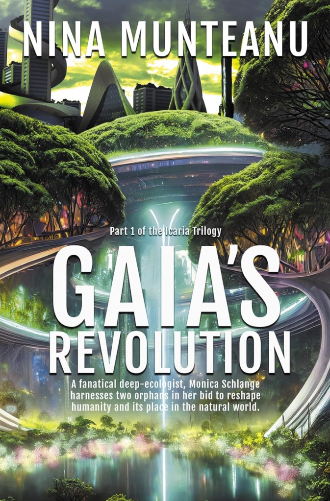
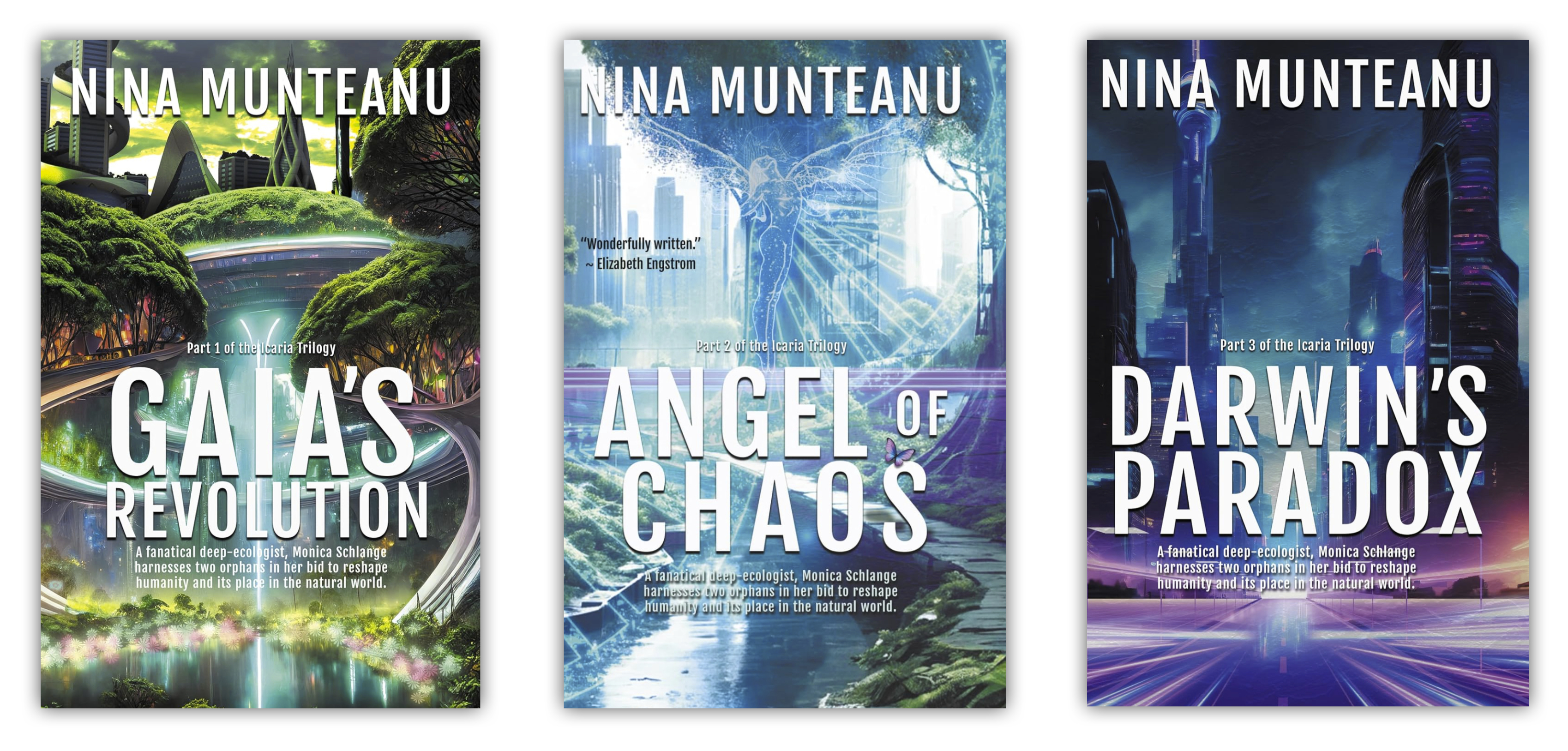
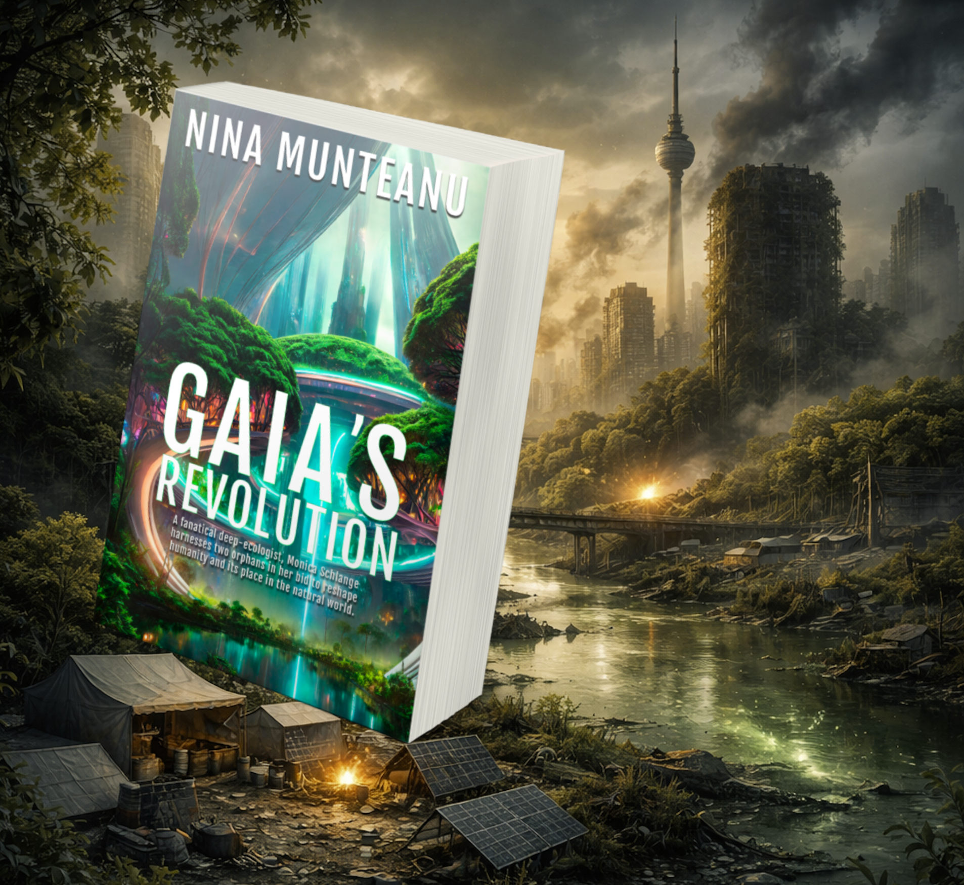
A fanatical deep-ecologist, Monica Schlange, harnesses two orphans in her bid to reshape humanity and its place in the natural world.
.
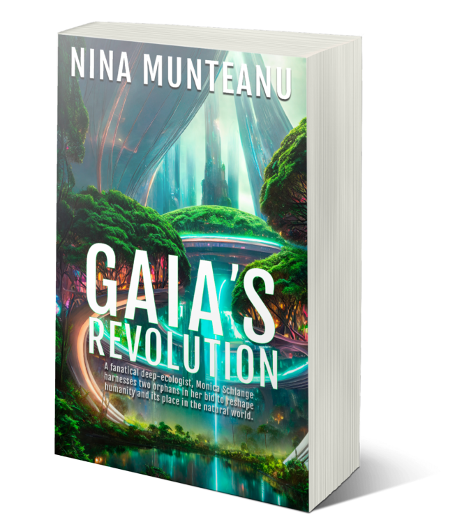
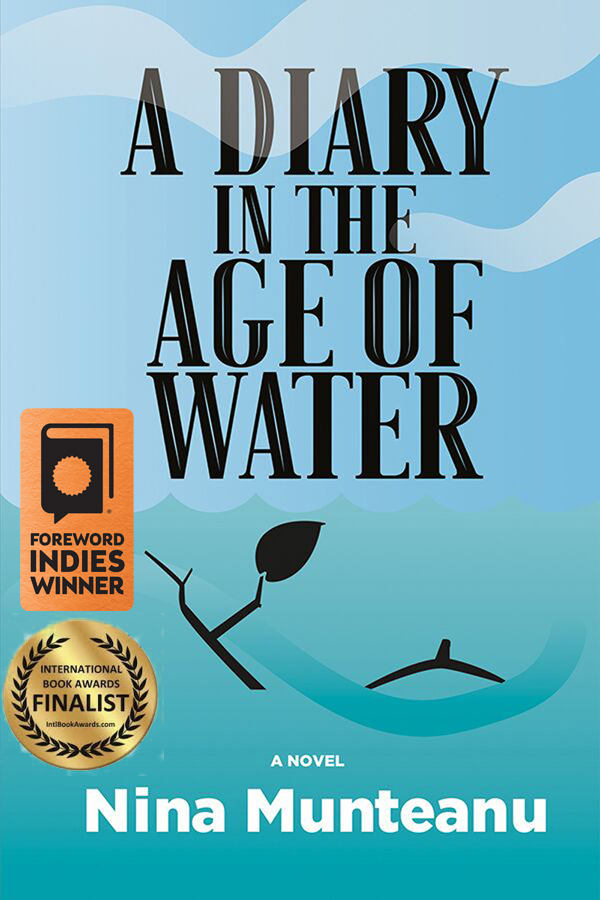
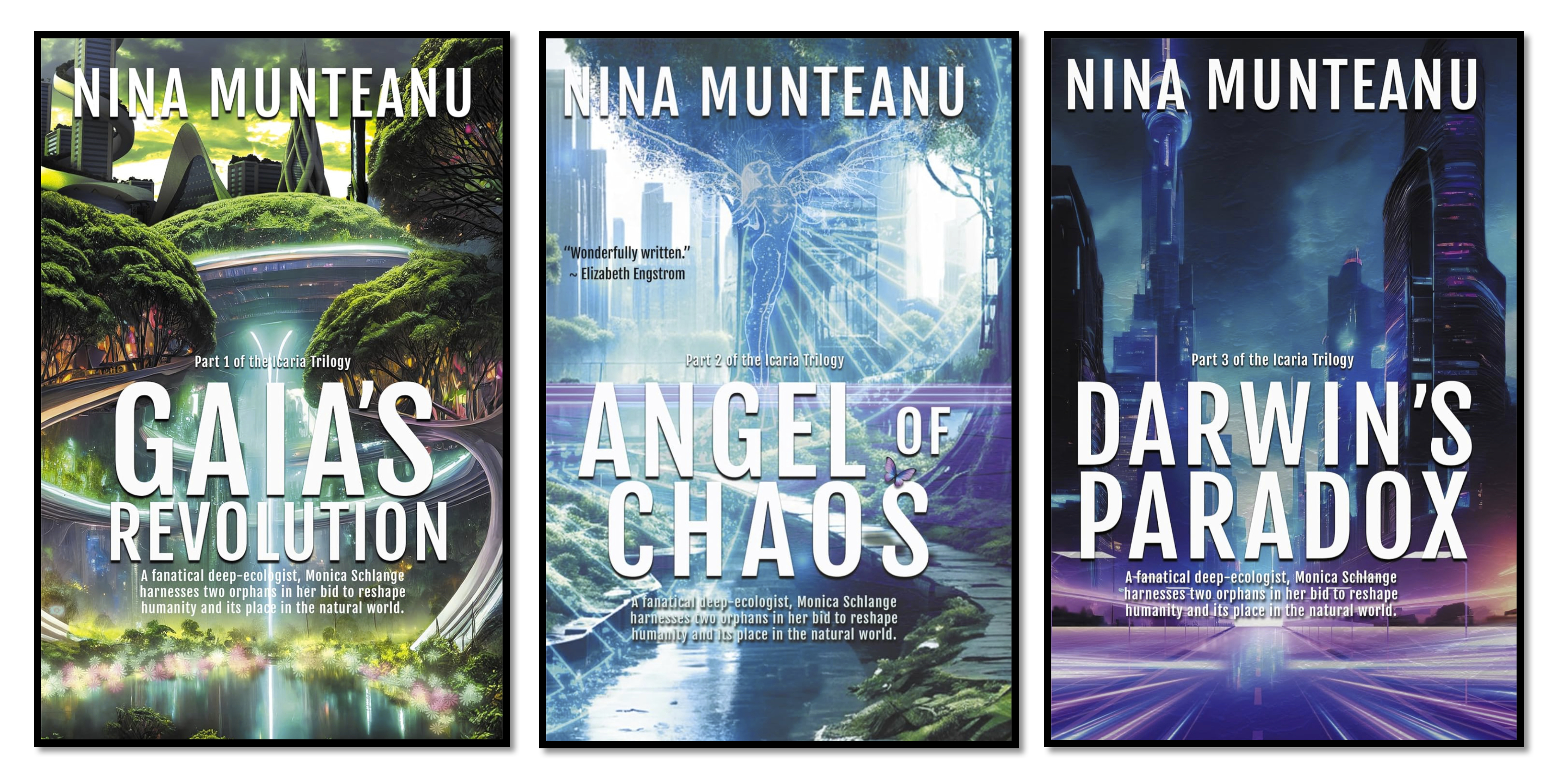
My novel Gaia’s Revolution, Book 1 of The Icaria Trilogy—which released March 10, 2026, by Dragon Moon Press—explores a collapsing capitalist society in Canada through ravages of climate change, water shortages, plague, and a failing technology.
.
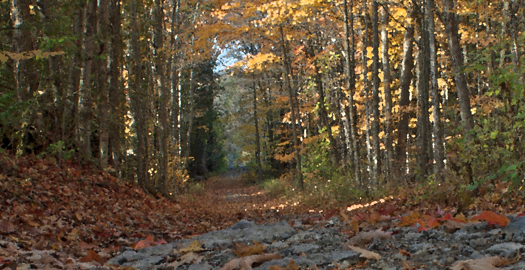
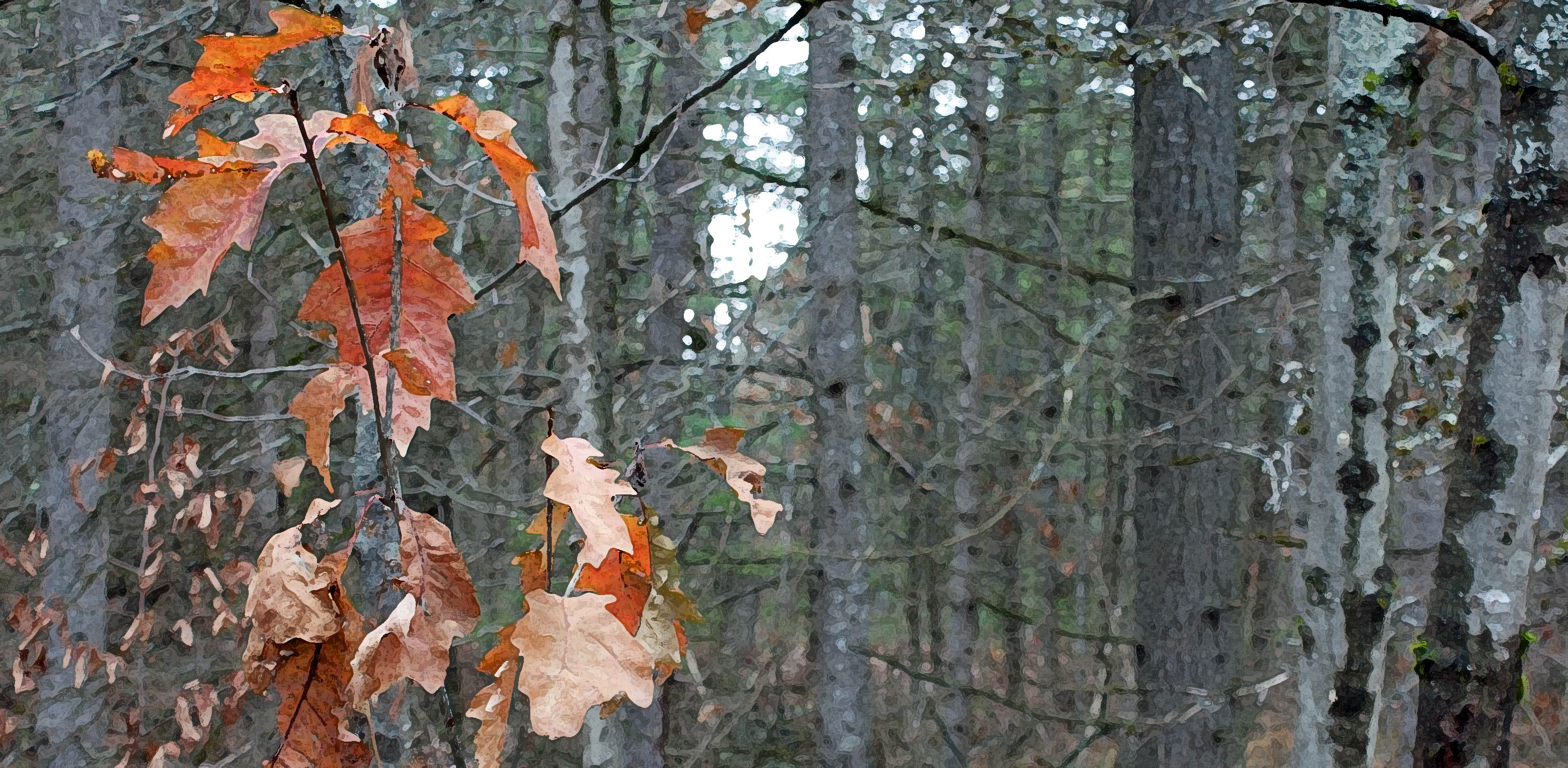
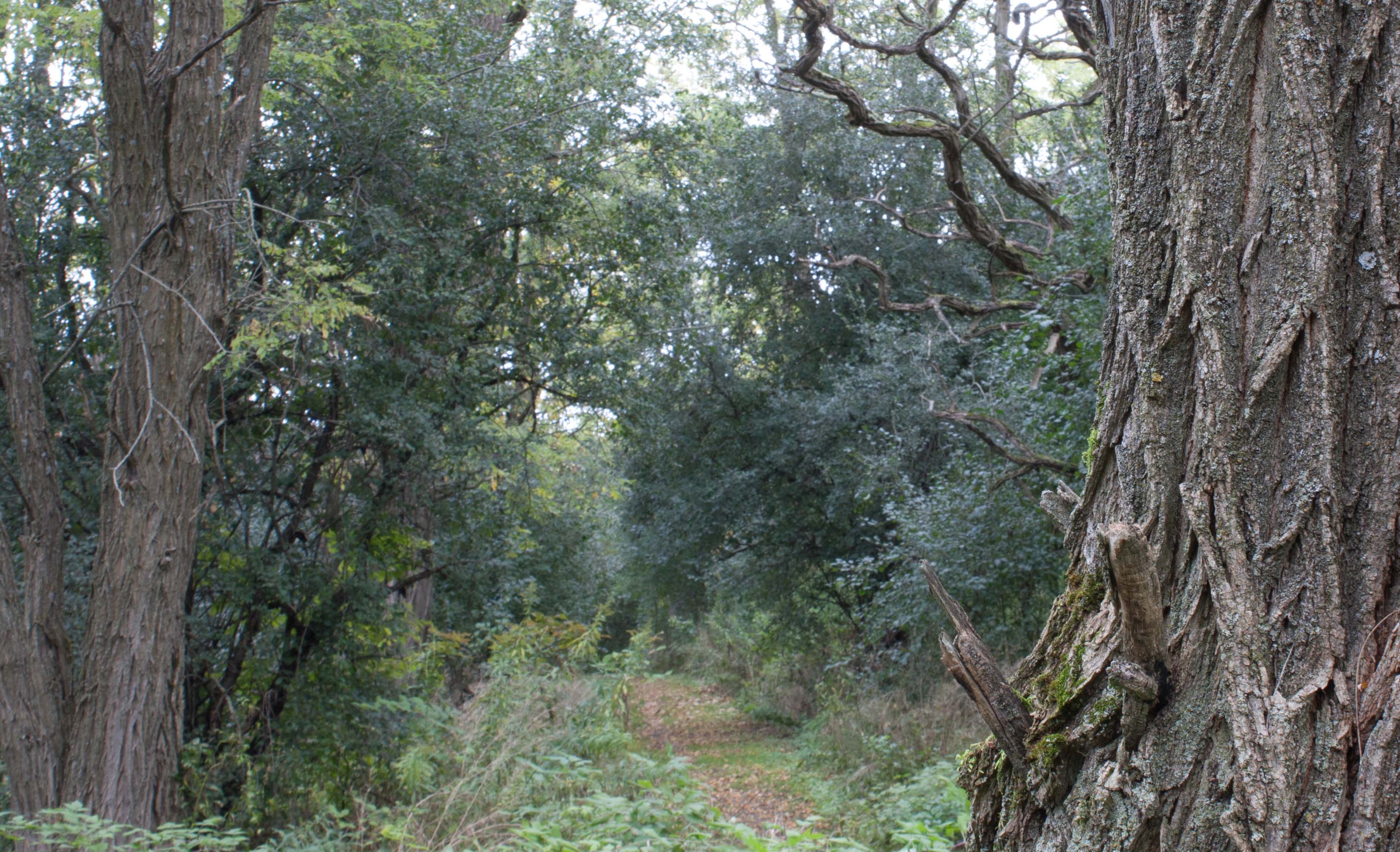
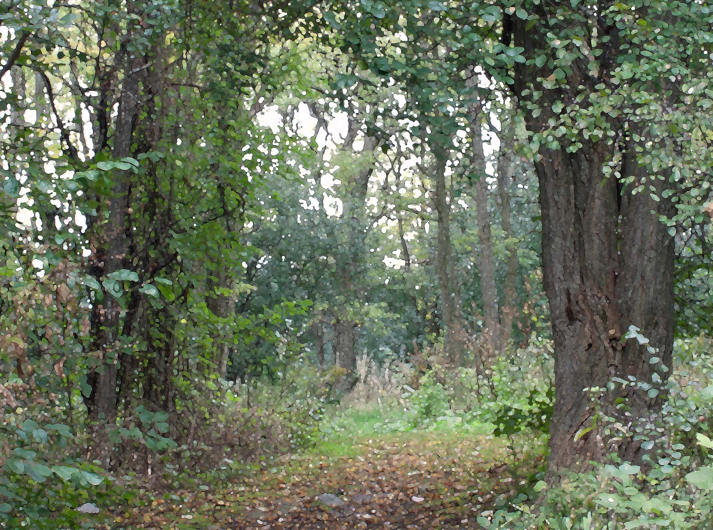
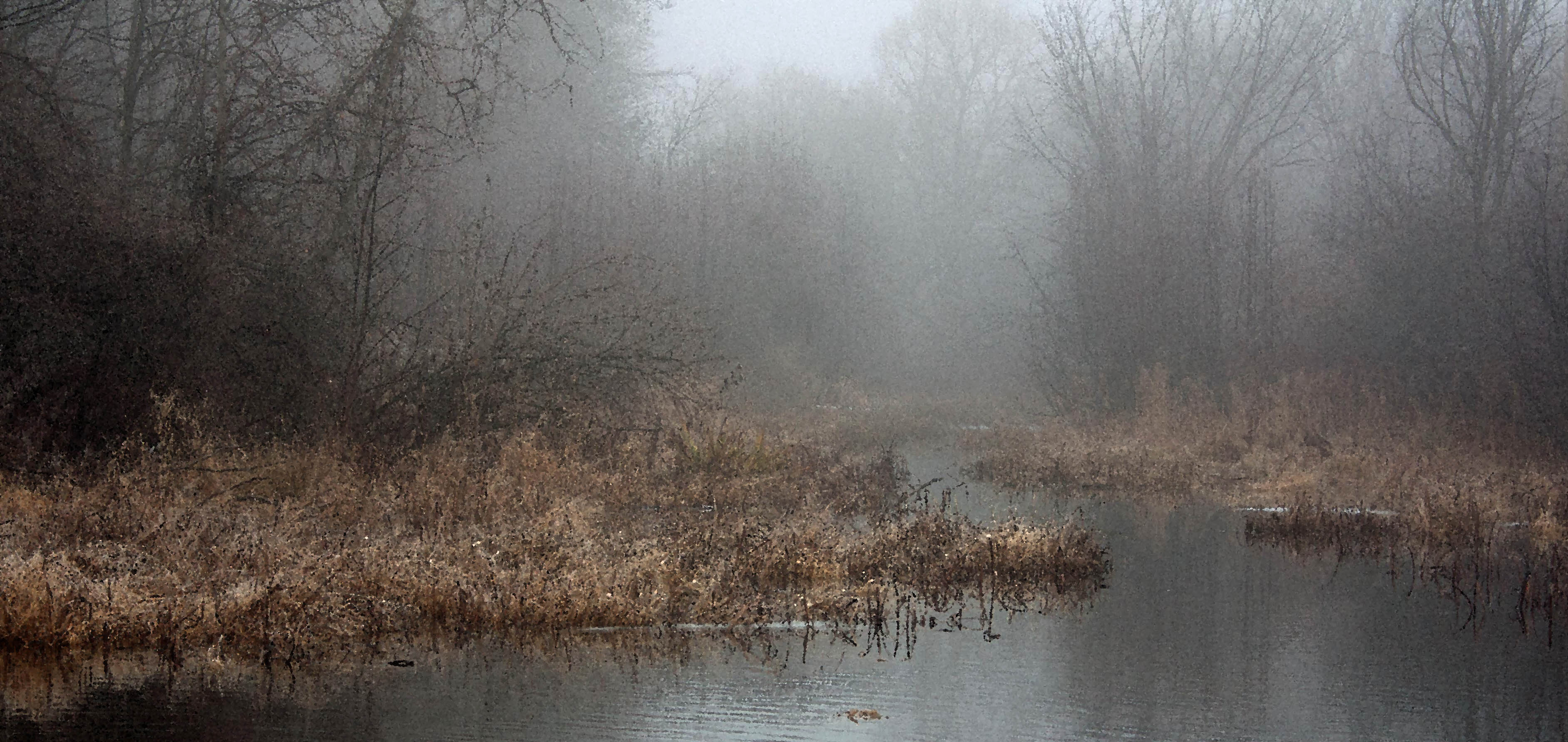
The story begins in Berlin in 2022, with maverick scholar Damien Vogel, a deep ecologist and environmentalist who joined the climate activist group Letzte Generation* to do acts of civil disobedience to bring public awareness to climate offenders. The novel progresses from acts of civil disobedience to genuine eco-terrorism as Damien follows his revolutionary anarchist twin brother Eric to Canada and forms the Gaians, a radical eco-activist group, recruiting fanatic Monica Schlange—herself a sly eco-terrorist. Monica is an unscrupulous deep ecologist, proficient in using sabotage and internet tampering to disrupt and hurt climate offenders. The twin brothers end up on opposite sides of a violent revolution as Monica—guided by her own agenda as an extremist planetary guardian—plays them both.
.
.
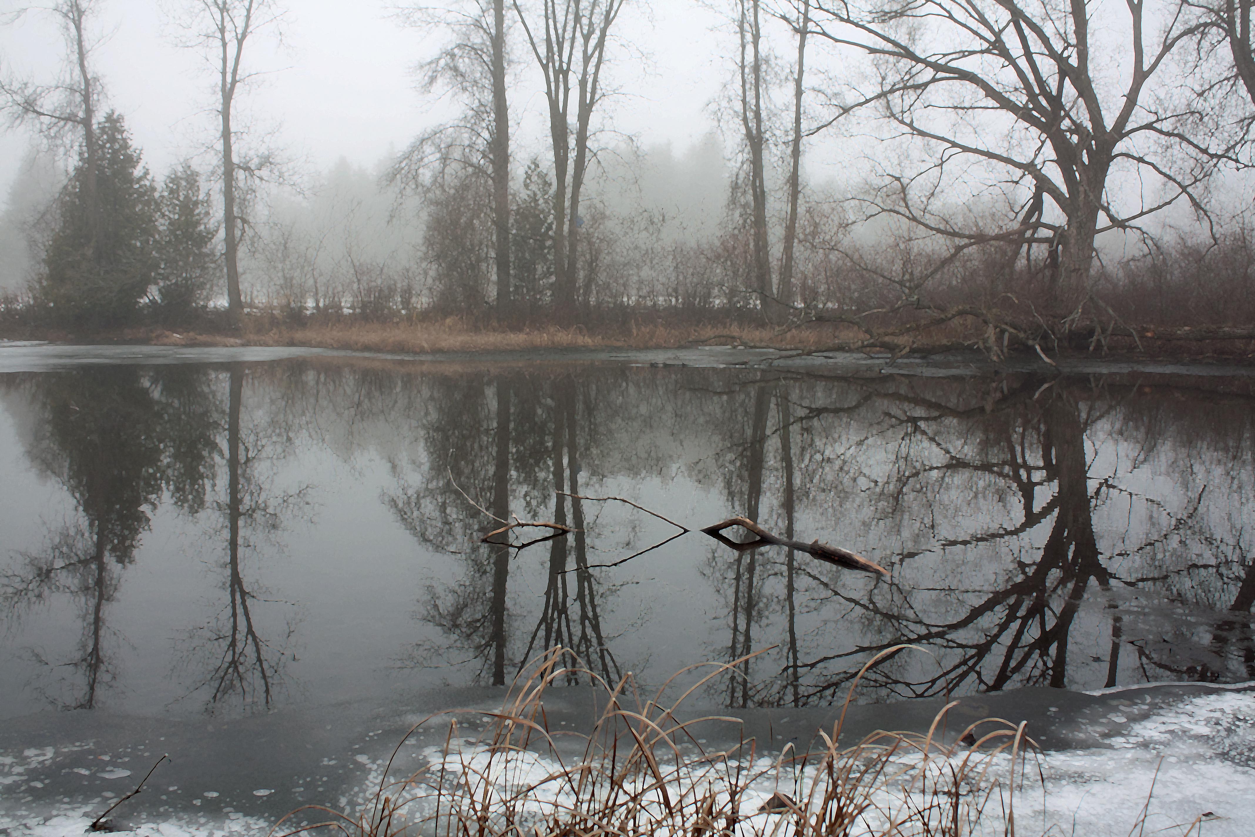
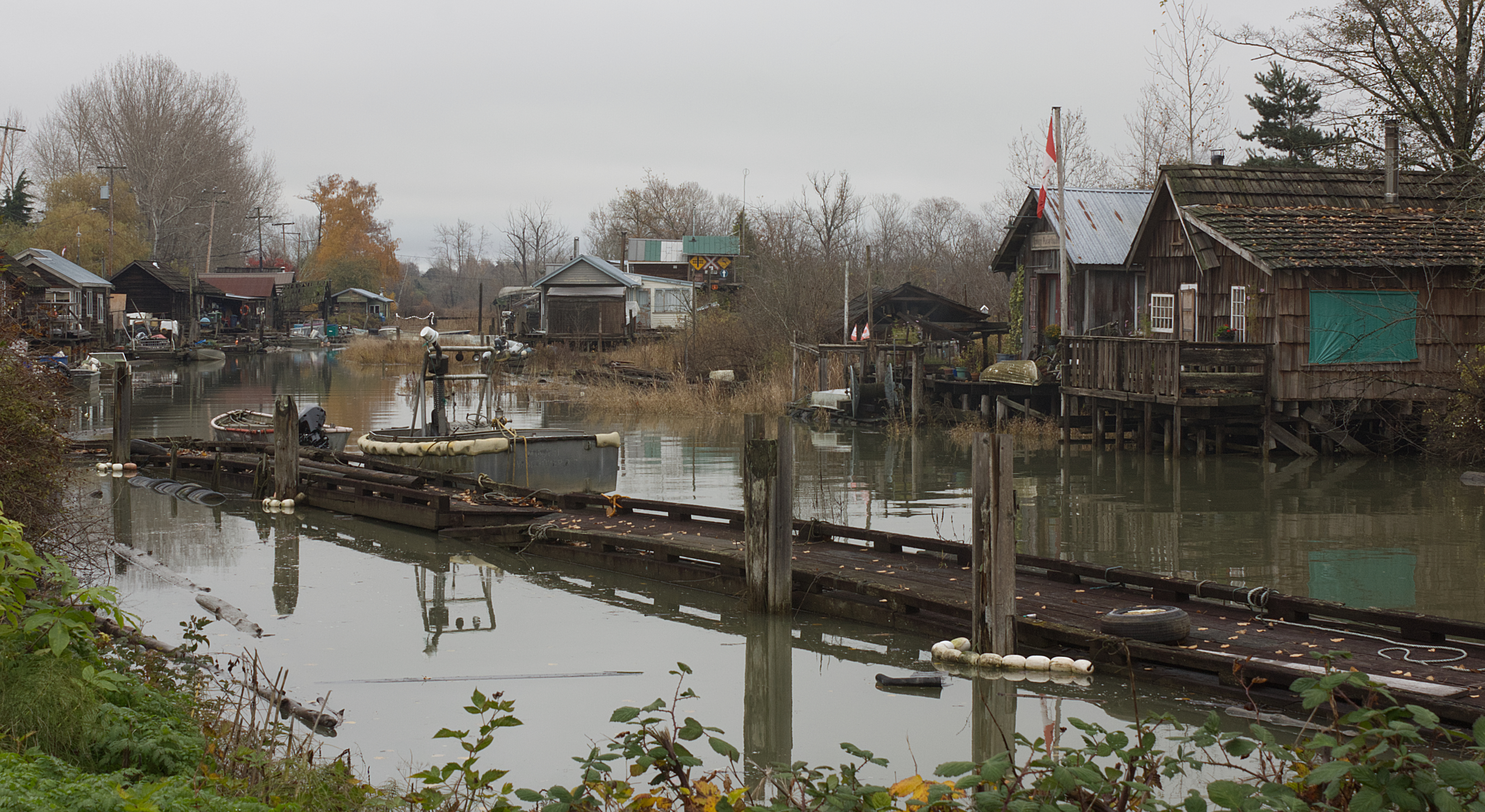
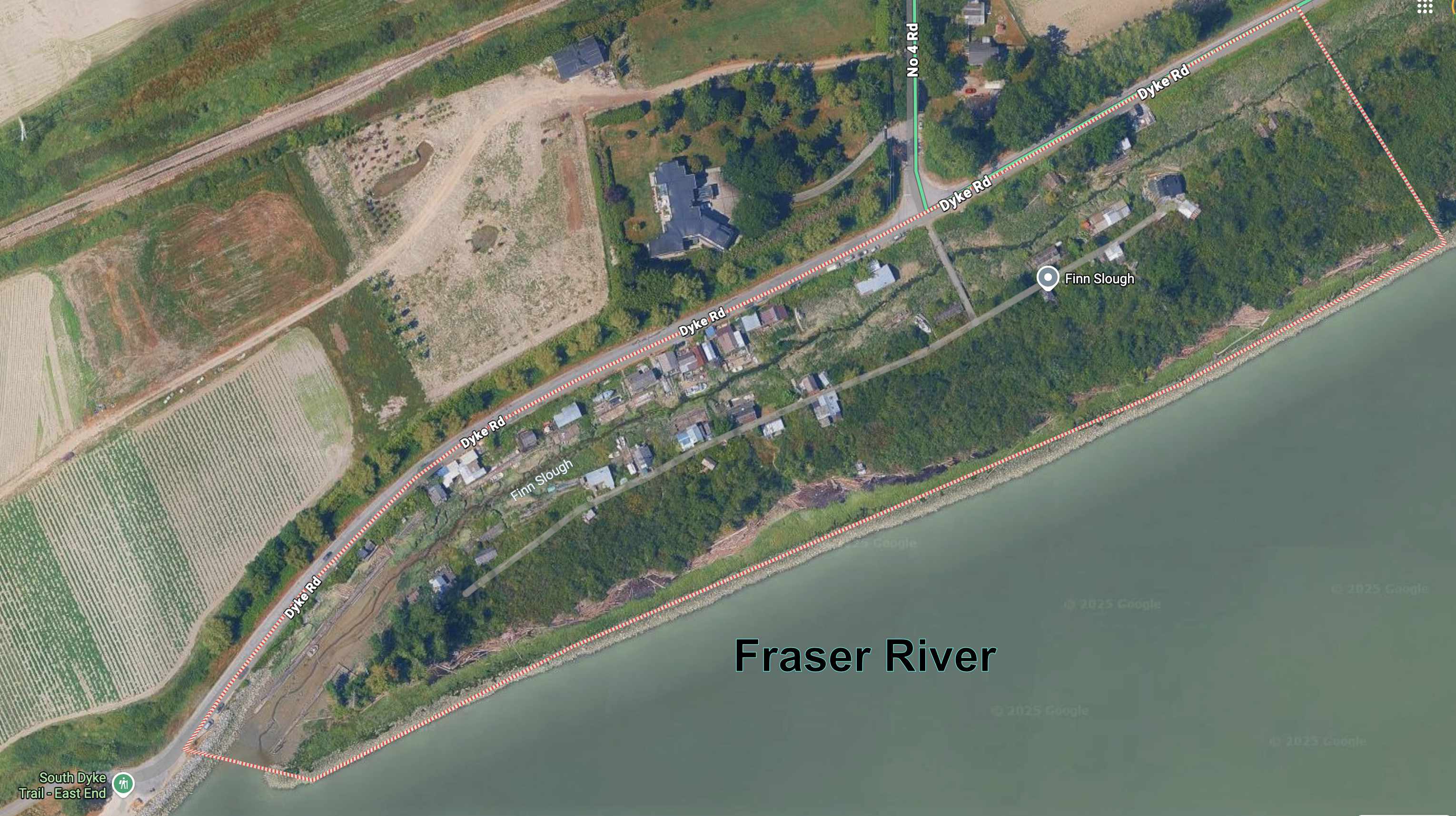
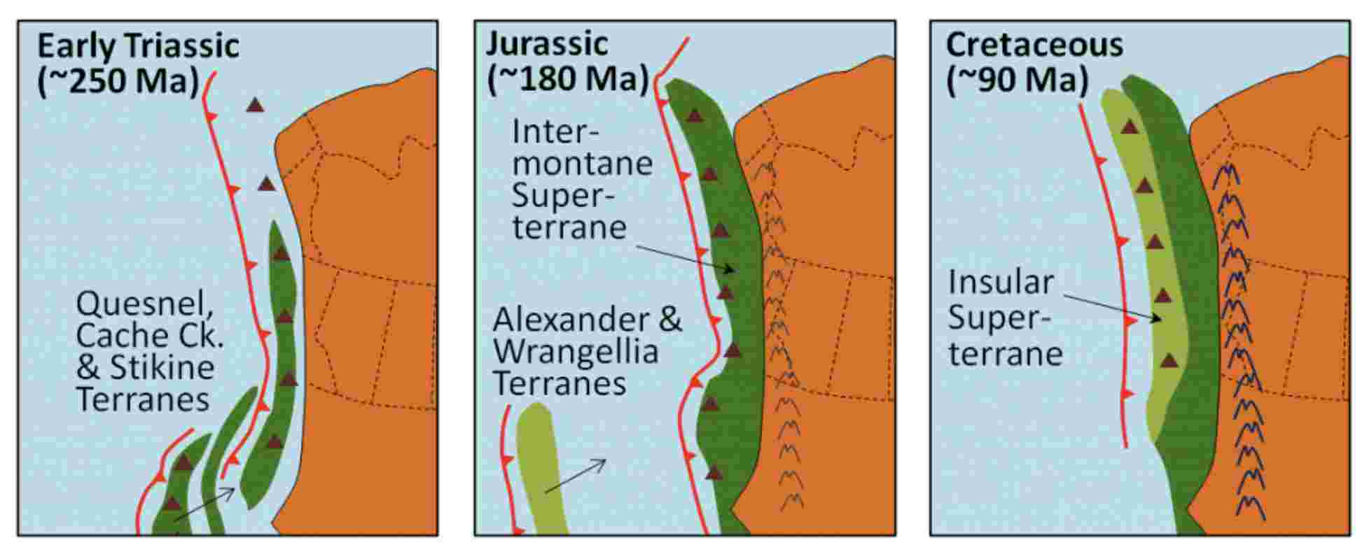
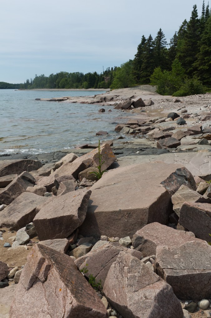
By 2095 (Book 2 Angel of Chaos and Book 3 Darwin’s Paradox), humanity has fled inside environmental dome cities called Icarias*, chased inside by an unruly environment. Icarians struggle with Darwin’s Disease—a mysterious neurological environmental pandemic. Icaria 5 is one of many enclosed cities within the slowly recovering toxic wasteland of North America, and where the protagonist Julie Crane (daughter of one of the orphans in Gaia’s Revolution) lives and works. Icarias are run by The Circle, a governing body of deep ecologists who call themselves Gaians. The Gaians’ secret is that they are keeping humanity “inside” not to protect humanity from a toxic wasteland but to protect the environment from a toxic humanity.
.
Ecology vs. Deep Ecology vs. Eco-Terrorism

.
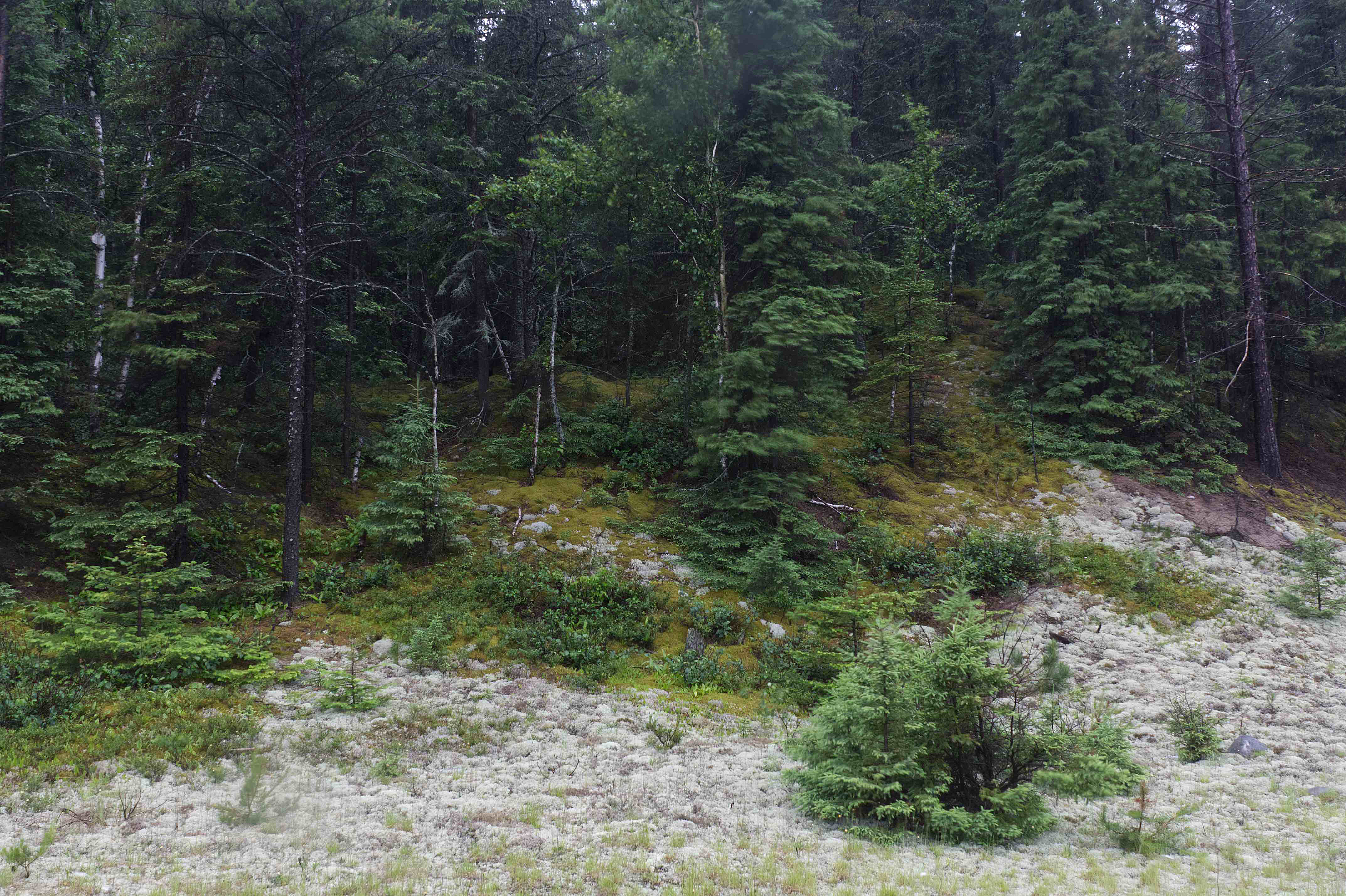
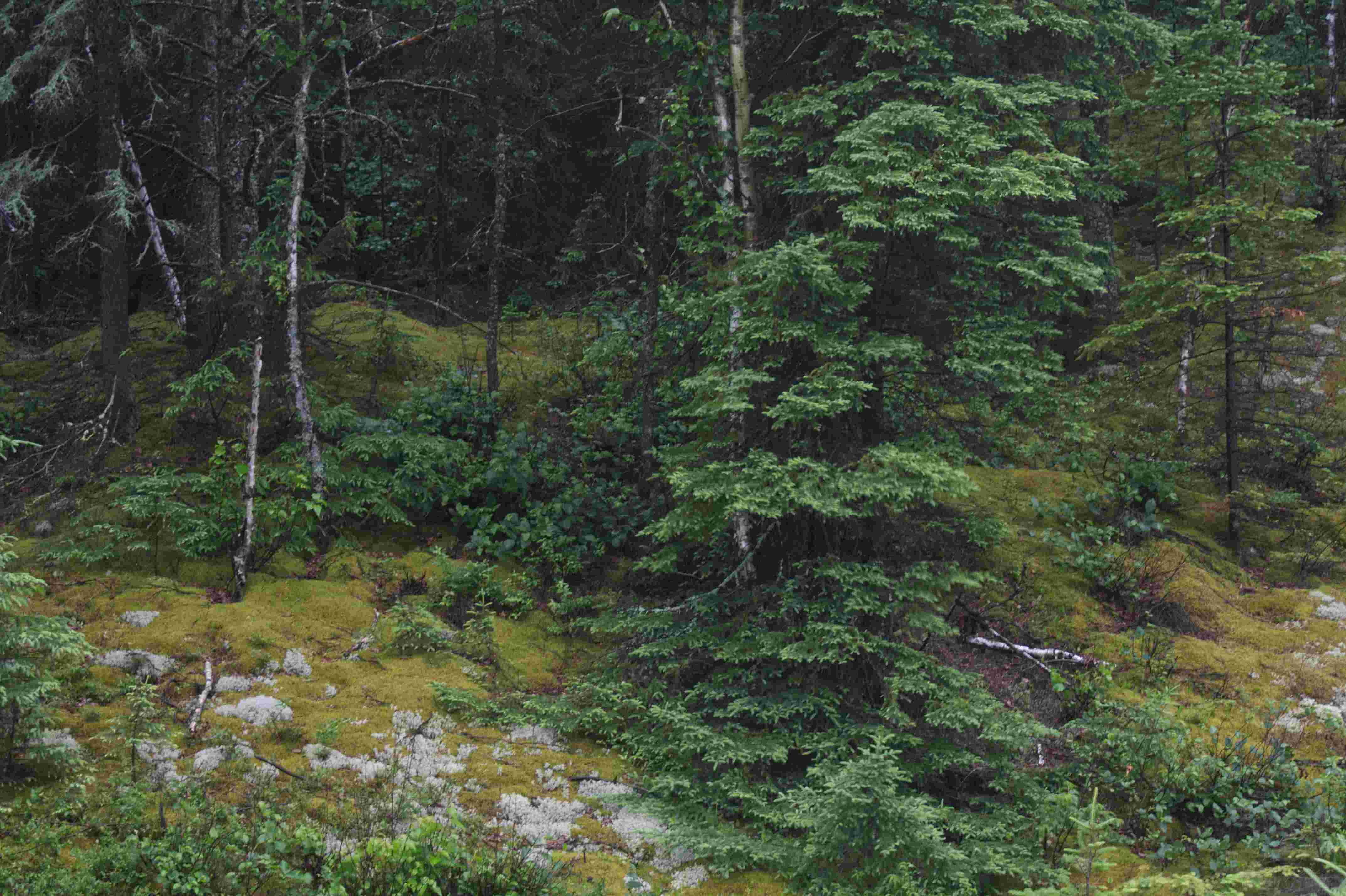
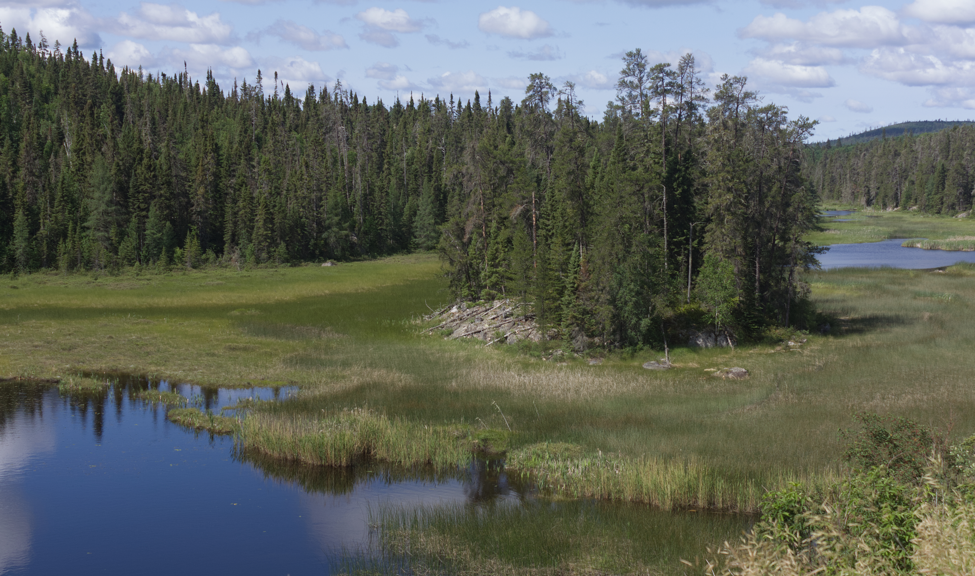
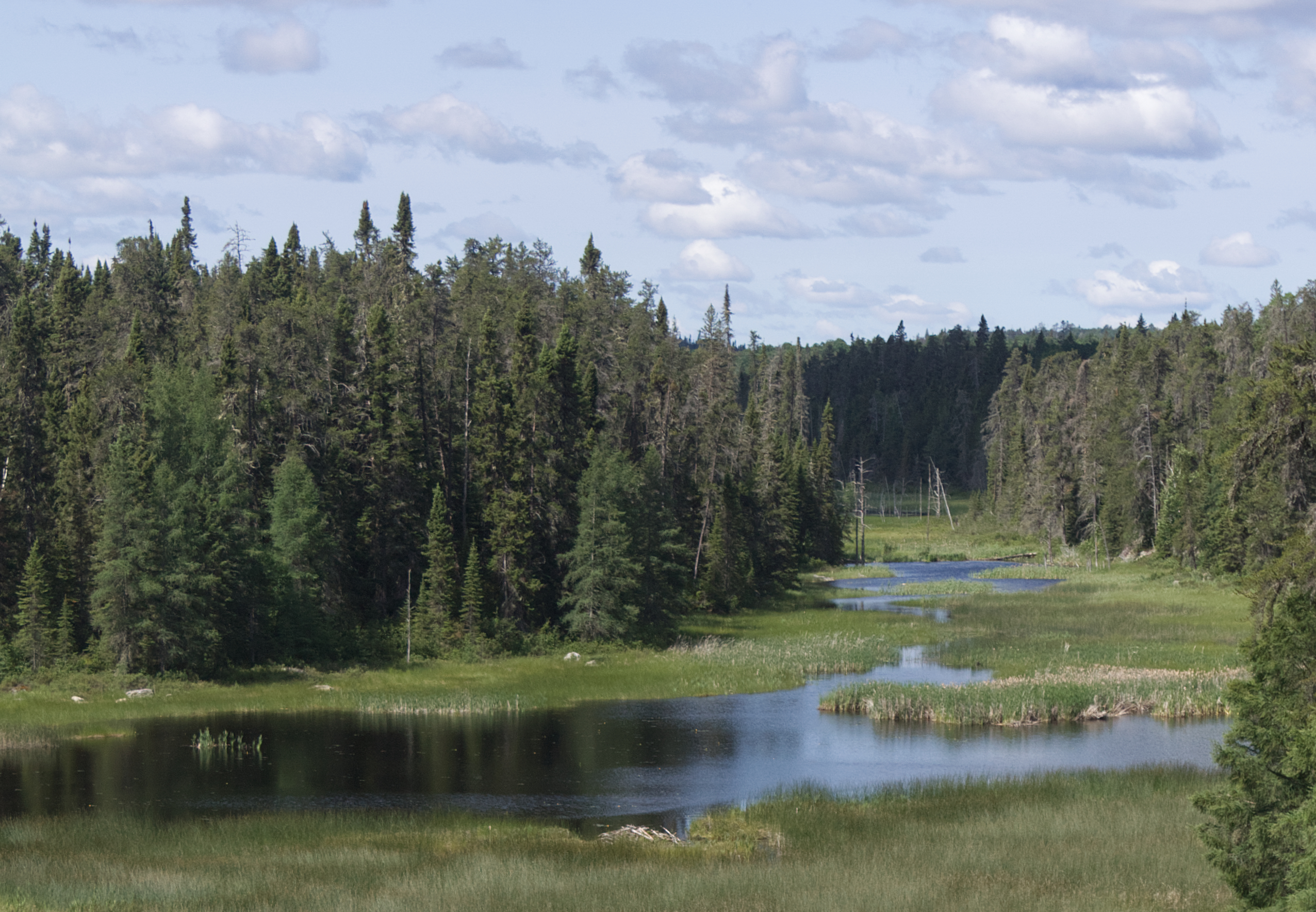
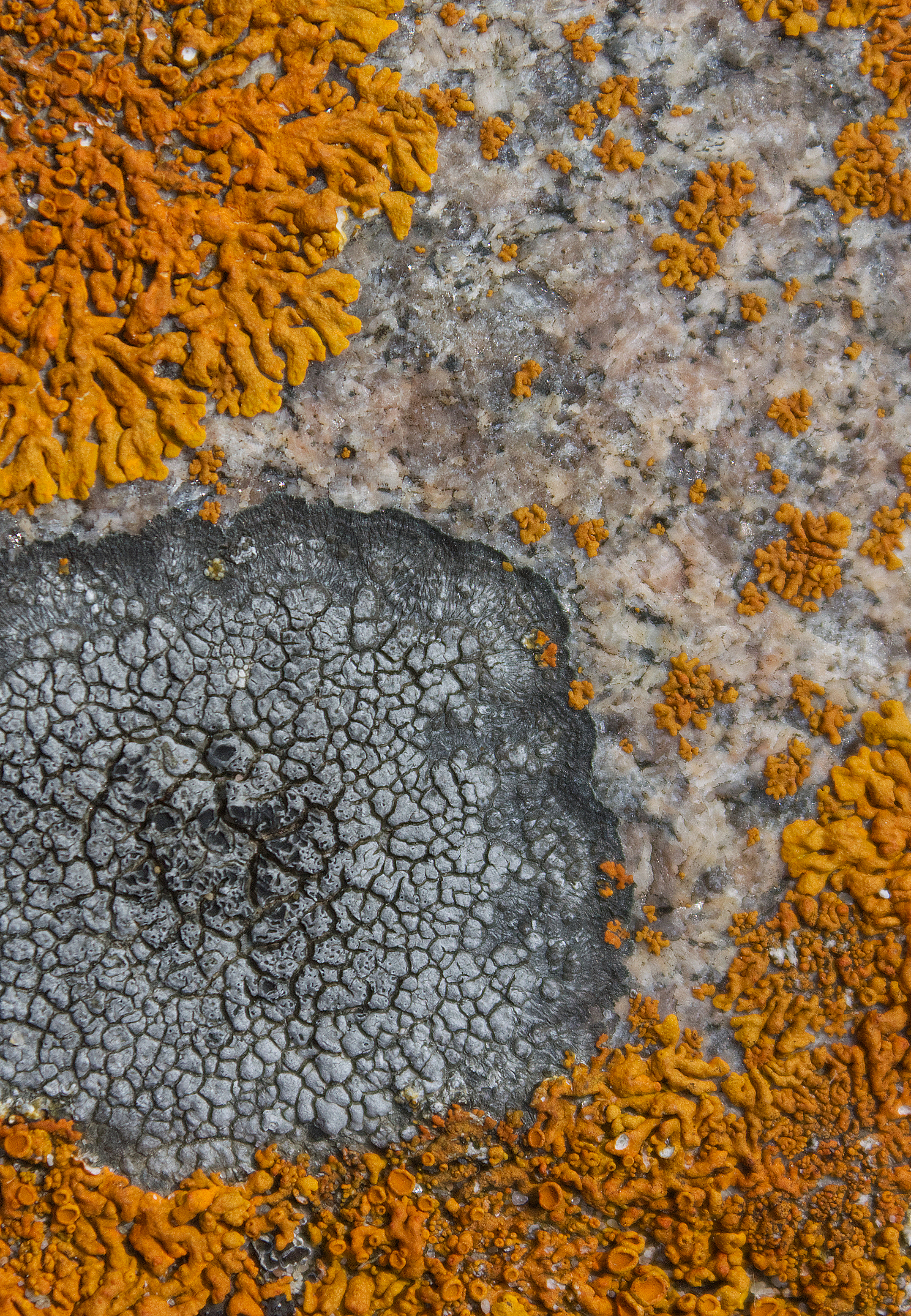
Ecology: Ecology is the science of relationships. Ecologists study ecosystems (aquatic and terrestrial), how they form, their structure and function, and how they relate to one another within the biosphere. Ecologists look at the relationship of all biota and non-biota, at individuals and communities, how all evolve (succession), at community richness, perturbations and recoveries, and natural enrichment. Ecologists model the flow of energy and cycling of matter over time and space.
Deep Ecology: Deep ecologists are usually ecologists themselves, who have adopted
An environmental philosophy and social movement advocating that all living beings have intrinsic value, independent of their utility to human needs. The philosophy promotes a holistic, ecocentric worldview—often termed “ecosophy”—that demands radical, structural changes to human society to prioritize nature’s flourishing. See the Eight Basic Principles of Deep Ecology.
Eco-Terrorism: Both ecologists and deep ecologists may grow cynical, seeing humanity as an existential threat, a virus that impacts the rest of life on Earth and exacerbates hyperobjects like climate change, loss of biodiversity and habitat destruction. This may lead to activism which some with a fanatical and destructive warrior spirit may move toward eco-terrorism such as criminal actions to halt development, and various acts of violence (e.g. arson, destruction of research facilities, threats against individuals).
.
Ecologists, Deep Ecologists & Eco-Terrorists in The Icaria Trilogy
In Gaia’s Revolution deep ecologist / scholar Damien Vogel and his nihilist revolutionary twin brother Eric Vogel trigger a violent revolution and eventual migration of humanity into the enclosed worlds of Icaria. While Damien follows deep ecology as an intellectual and scholar, believing in the eight basic principles of deep ecology, Eric uses the principles to enact merciless ‘solutions’ through brutal acts of eco-terrorism. Deep ecologist / eco-terrorist Monica Schlange insinuates herself into both brother’s plans to orchestrate her own unique vision of the world. Monica differs from Eric in her sense of humanity; a consummate and ruthless eco-terrorist and subversive, she is bent on entirely destroying the capitalist-technocratic machinery of which Eric is a part—to save the planet at the expense of human domination.
.
Damien and Christian Isabo meet to discuss recruiting her into their radical group:
Christian says, leaning forward, “She’s a bit of a wild card and possibly a genuine eco-terrorist. For instance, I discovered that she was behind the viral social media fiasco that embarrassed Prime Minister Robinson last year and almost cost him his seat. You know the one—those pictures of him fooling around with the German Chancellor, Magda Zimmermann, who’s married with two kids… Damien. I think that she’s extremely resourceful, stealthy, good at subterfuge and covers her tracks impeccably. Of course, there are definitely anger issues there. But, I also think we can count on her because her motives to help the environment lie on a deep visceral level, tied to her childhood experience and love of Nature.”
Damien studies her image on his phone with a thoughtful frown. He looks up at Christian. “What do we know about her?”
“Well, to begin with, she’s an only child and grew up on one of the last independent dairy farms in Ontario, near Guelph. Her father was strict and encouraged a strong work ethic and love for the natural world. He doted on her but died of a heart attack when she was only thirteen, the year their farm was seized by the Technocrats and converted into a Corporation Farm using scientific agriculture. In fact, their seizure may have precipitated the father’s heart attack. Her mother was assigned as a scullery maid in the farm kitchen; she took to drink then ran off with some truck driver travelling across Canada from Surrey, BC. He didn’t treat the girl well and she ran away before they reached Halifax. She ended up living with her aunt—her father’s sister—in the Beaches. The aunt worked as a librarian at York University and was a fervent member of Extinction Rebellion before it dissolved. She was a real bohemian, a deep ecologist herself, and encouraged the girl.”
While Monica shows the same level of dedication, she betrays a lack of integrity in her less than altruistic motivations and means, thinks Damien. The fact that she’s with Eric [his twin brother and nemesis] proves this. But even that—especially that—can work in their favour. It would seem that, without knowing it, she is already working as an undercover spy for their revolution. He can work with that, Damien thinks. Yes, he can certainly do that. And more. It’s my turn now, brother…
“OK. Set up a meeting,” Damien says. “Let’s get her into the fold.”
.

.
Leonard Crane—one of the three orphans impacted by the revolution and both rescued and tormented by Monica Schlange—studies ecology under new Gaian rule and is eventually inducted into the prestigious Department of Industrial Ecology (DIE) where he works on subversive ecological theories about Icaria’s inevitable demise and is eventually ostracised from the scientific community for his unpopular work. His legacy echoes throughout Books 2 and 3 of the trilogy.
.

Books 2 and 3 follow Julie Crane (Leonard’s daughter), a self-taught ecologist. In Angel of Chaos and Darwin’s Paradox, her skills as an amateur ecologist (in a world where ecology is not taught) are tested by the ruthless deep ecologist Gaia, head of The Circle. Gaia denigrates Julie’s ecological pursuits as shallow and ineffectual. When a subordinate of hers asks her if Julie would make a good candidate for The Circle (the governing body of Icaria), Gaia scoffs:
.
“You mistake a good scientific ecologist with someone who possesses a genuine empathy for deep ecology,” she said. Her eyes sparkled like sapphires. “No one enters our elite cadre without having impeccable qualifications and submitting to many more initiations than she is capable of passing. She may be an ecologist but she is not a deep ecologist. The science of ecology does not ask what kind of society would be the best suited to maintain a particular ecosystem. Our greater concern is with questions aimed at the level of organic wholeness and ‘Earth wisdom’. She knows nothing of these things.”—Gaia, Angel of Chaos
.
.
You can order “Gaia’s Revolution” on Amazon. Release date for both ebook and print book was March 10, 2026. Book 2 (Angel of Chaos) and Book 3 (Darwin’s Paradox) of theIcaria Trilogy are already available in both ebook and print form.
.
.
References:
Munteanu, Nina. 2026. “Gaia’s Revolution, Part 1 of Icaria Trilogy.” Dragon Moon Press, Calgary, AB. 369 pp.
Munteanu, Nina. 2010. “Angel of Chaos, Part 2 of Icaria Trilogy.” Dragon Moon Press, Calgary, AB. 518 pp.
Munteanu, Nina. 2007. “Darwin’s Paradox, Part 3 of Icaria Trilogy.” Dragon Moon Press, Calgary, AB. 294 pp.
Sessions, George, Bill Devall. 2000. “Deep Ecology: Living as if Nature Mattered.” Gibbs Smith. 267pp.
Skinner, B.F. 1948. “Walden Two” The Macmillan Company, New York. 301pp.
.
Terminology:
*Deep Ecology: An environmental philosophy and social movement advocating that all living beings have intrinsic value, independent of their utility to human needs. Coined by Arne Næss in 1972, it promotes a holistic, ecocentric worldview—often termed “ecosophy”—that demands radical, structural changes to human society to prioritize nature’s flourishing.
*Icaria: the name of Étienne Cabet’s utopia. Cabet was a French lawyer in Dijon, who published his novel Voyage en Icarie in 1839. The novel was a sort of manifesto-blueprint of utopian socialism, with elements of communism (abolished private property and individual enterprise), influenced by Fourierist and Owenite thinking. Key elements, such as the four-hour work day, are reflected in B.F. Skinner’s Walden Two. Cabet’s novel explores a society in which capitalist production is replaced by workers’ cooperatives with a focus on small communities.
*Letzte Generation: a prominent European climate activist group, founded in 2021, known for its acts of civil disobedience—such as roadblocks, defacing art, and vandalizing structures—to pressure governments on climate action. The term was chosen because they considered themselves to be the last generation before tipping points in the earth’s climate system would be reached. They are mostly active in Germany, Italy, Poland and Canada. In Germany, they have faced accusations of forming a criminal organization, leading to police raids.
.

Nina Munteanu is an award-winning novelist and short story writer of eco-fiction, science fiction and fantasy. She also has three writing guides out: The Fiction Writer; The Journal Writer; and The Ecology of Writing and teaches fiction writing and technical writing at university and online. Check the Publications page on this site for a summary of what she has out there. Nina teaches writing at the University of Toronto and has been coaching fiction and non-fiction authors for over 20 years. You can find Nina’s short podcasts on writing on YouTube. Check out this site for more author advice from how to write a synopsis to finding your muse and the art and science of writing.
.